Modeling Future Climate Impacts on NC Flooding with Hunter Quintal
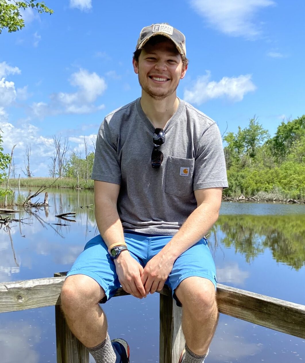
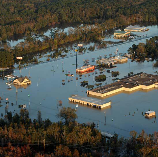
Hunter Quintal, a Master’s of Science candidate at the University of North Carolina at Chapel Hill’s Department of Earth, Marine and Environmental Sciences, is currently studying how changes in precipitation and land use may affect flooding over time. As a 2021-22 Graduate Research Fellow, he has received support from the Water Resources Research Institute (WRRI), to help address water-related concerns. Quintal’s research comes on the heels of several major storm events, including Hurricanes Matthew (2016), Florence (2018) and Dorian (2019), each demonstrating the growing impact of the climate crisis on the severity and length of storm surges and inland flooding disasters. While his research is still ongoing, WRRI caught up with Hunter to see how his work has progressed.
Predicting Future Climate Risks
Quintal’s project focuses on flooding from storms in North Carolina, specifically at the watershed scale.
“I use projections of future rainfall and land development that inform a computer model to accomplish this research. By incrementally changing the built landscape and storm intensity from 2020 until the end of the [21st] century, the model evaluates where water will flow during a flood.”
Employing this model and the projections that follow, Quintal can then determine the depth of floodwaters at a specific location, track the intensity of future storms, and predict the potential impacts that these characteristics have when it comes to the effects on a locale’s built infrastructure and natural environment.
What sparked Quintal’s interest in this subject was his fascination with water science, and his intention to use his acquired research skills to inform communities about the likelihood they will face environmental hazards – in this case flooding – so they can develop their climate adaptation and mitigation strategies and become better prepared for future storms.
Antonia Sebastian, an assistant professor at the University of North Carolina in Chapel Hill’s Department of Earth, Marine and Environmental Sciences, is advising Quintal on his project and predicts his research will prove very valuable.
“Hunter’s proposed research will address several of the pressing challenges facing communities in the 21st century that have been highlighted by WRRI,” Sebastian says, “including how to incorporate natural infrastructure into flood mitigation planning; the flood risk challenges posed by shifting climate and land use conditions; and the social, physical, and hydrological dynamics that undermine (or enhance) resilient communities.”
A Little Help from Dr. Dello
In order to acquire additional information and reinforce his research, Quintal has worked with Kathie Dello, the state climatologist and director at the North Carolina State Climate Office.
Dello expressed her support for the project, commenting: “Hunter’s work is an important exploration of how flood risk changes in the Neuse River Basin in a warming world.”
She notes she is helping Quintal analyze climate projections using downscaled climate model data. This is when climate model data is essentially made smaller and more applicable to what Dello calls the “decision-scale at the local level.”
Quintal’s partnership with Dello and the Climate Office has given him numerous beneficial insights for his project.
“Not only has the State Climate Office provided me with a valuable dataset that predicts daily precipitation through the end of the century, but Dr. Dello has taken on the role as my unofficial mentor in analyzing the dataset for my research,” Quintal explains. “She has been instrumental in sharing her experience, valuable research papers and effective methods to analyze the data in a way that is scientifically defensible and physically appropriate for the watershed. I have no formal background in climate science or science communication, so Dr. Dello’s support has been instructive for the success of my project and my ability to clearly explain these issues.”
The specific dataset the Climate Office provided is known as the Couple Model Intercomparison Project version 5 – CMIP5 for short – and is a collection of 20 different climate predictions, representing possible precipitation outcomes across the eastern part of North Carolina. Using Dello’s advice, Quintal analyzed the CMIP5 dataset to determine annual changes in extreme precipitation across the Neuse River watershed.
Quintal adds, “I will then assess the intensity of a given ‘design storm,’ which is how the U.S. Army Corps of Engineers uses precipitation estimates to model the floodplain. Since precipitation is expected to increase in intensity, the intensity of the design storm may increase over time. I will use the CMIP5 dataset to understand how the design storm will change over time, and then see how much worse flooding becomes as a result.”
Testing, Testing, Goldsboro
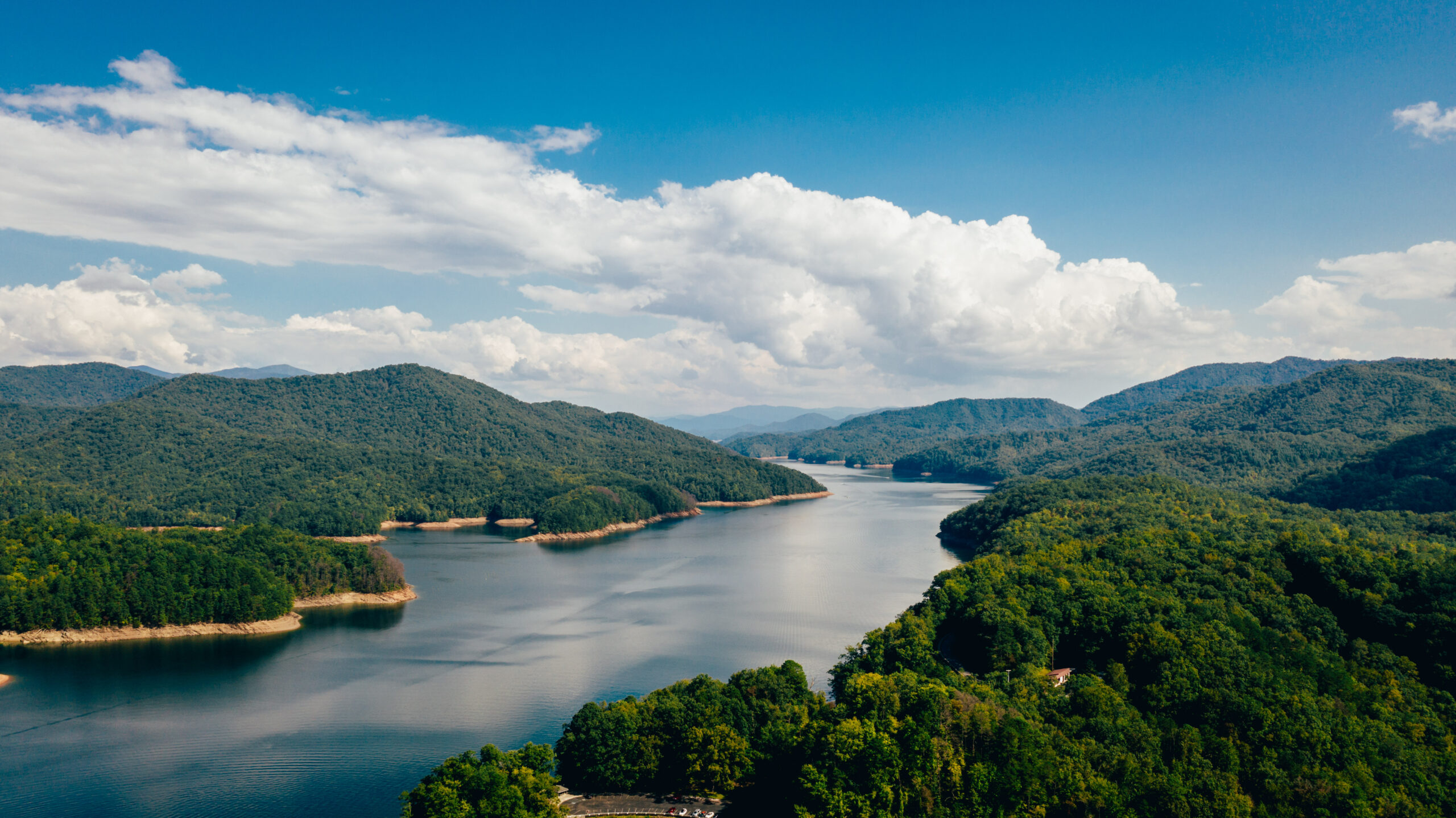
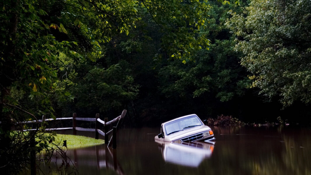
Part of Quintal’s research focuses on the city of Goldsboro, North Carolina, located along the Neuse River, which is a site of habitual flooding related to various storm events, especially hurricanes. He chose Goldsboro and the area at large as his test location, for the continuous research project, for multiple reasons.
“Cities along the Neuse River, especially those downstream of Goldsboro, like New Bern and Kinston, have been recently impacted by flooding from hurricanes like Matthew and Florence. In eastern North Carolina, precipitation is expected to increase in intensity and development is rapidly urbanizing the region for the foreseeable future. It is likely that cities like Goldsboro will need to prepare for both land-use changes and for storms as large or larger than Hurricane Matthew and Florence. Both of these projections suggest that flooding will continue to evolve at the local level.”
Using his computer model, Quintal will make projections and create floodplain maps for every remaining decade of the 21st century, to help inform community leaders, planners and members within the city of Goldsboro of their future risks. He hopes these floodplain maps will provide more accurate and actionable information, to help the city prepare for those risks.
The modeling done through Quintal’s research will also allow him to investigate floodplains in any area within the boundaries of the Neuse River watershed, which includes municipalities like Raleigh, Durham, Clayton and Kinston, to name a few. Since the model incorporates datasets that are publicly available from sources such as the United States Geological Survey (USGS), Environmental Protection Agency (EPA) and the World Climate Research Programme (WCRP), other researchers could utilize his model in recreating the applied methodology of his research for any place in the United States, given enough time to develop a model of a chosen location’s river system.
WRRI’s coordinator for research and engagement, Kaitlin Tucker expressed strong support for Hunter’s research, specifically the potential to apply of his research to other risk areas in North Carolina:
“We’ve seen flooding across the state this year, including in western North Carolina. Research like Hunter’s is becoming significantly more important to understand flooding risk, not only in eastern N.C. but across the state, as the population continues to grow and more people may be at an increased risk of flooding.”
Community Flood Risk and Communication
Overall, when asked what lessons or key points he hopes people would draw from his ongoing research, Quintal mentions the importance of recognizing that flooding is predominantly a local issue driven by regional development and global precipitation patterns. He regards it as critical for communities to understand the issue of flooding, hence his choice of Goldsboro as a critical test location.
“To prepare for future flooding, communities must have an understanding of both issues. Communities will not be sufficiently prepared if they rely on outdated floodplain maps, because both urbanization and environmental change are occurring, but also because maps make risk appear as static. In reality, risk changes due to a variety of factors. Our ability to prepare for future risk is only as good as the information that we have available to us, making research efforts like this essential for designing what the urban areas will look like over decades or even centuries from now.”
Finally, Quintal highlights the negative impacts that flooding disproportionately brings about in Black, indigenous and people of color’s (BIPOC) communities, spotlighting that, “as with many environmental injustices, flooding disproportionately affects marginalized communities financially, socially and physically.”
Quintal believes that risk communication and education are two of the most important tools that decision-makers and stakeholders can apply to help those impacted and to assist those marginalized communities in building generational streams of wealth to help lessen the damaging effects of flooding.
He hopes that his research will help determine how environmental change and land use and land cover change – whether together or separately – have any effect on the strength and widespread presence of flood hazards.
“From these results, I can then begin to understand where flooding is worsening over time.”
With support from WRRI, Quintal’s ongoing research will likely greatly assist countless communities in mapping out future changes in flooding, while informing frontline communities – people that will and are experiencing the first or worst impacts of the climate crisis – about their own risk to flooding’s environmental hazards. Quintal’s hope is to equip these communities with adaptive and mitigative tools strong enough to combat future climate impacts. Whether it is a city like Goldsboro, the nearby locality of Kinston, or any area of risk in the U.S., Quintal’s research has great potential to advise and guide communities through what’s to come.
For more information about Quintal’s research progress, visit his personal website for updates: https://tarheels.live/hunterquintal/.
View summaries of the other 2021-22 WRRI Graduate Research Fellows projects: WRRI Supporting 10 Graduate Students for 2021-22.
- Categories: